
 Image 1 of 1
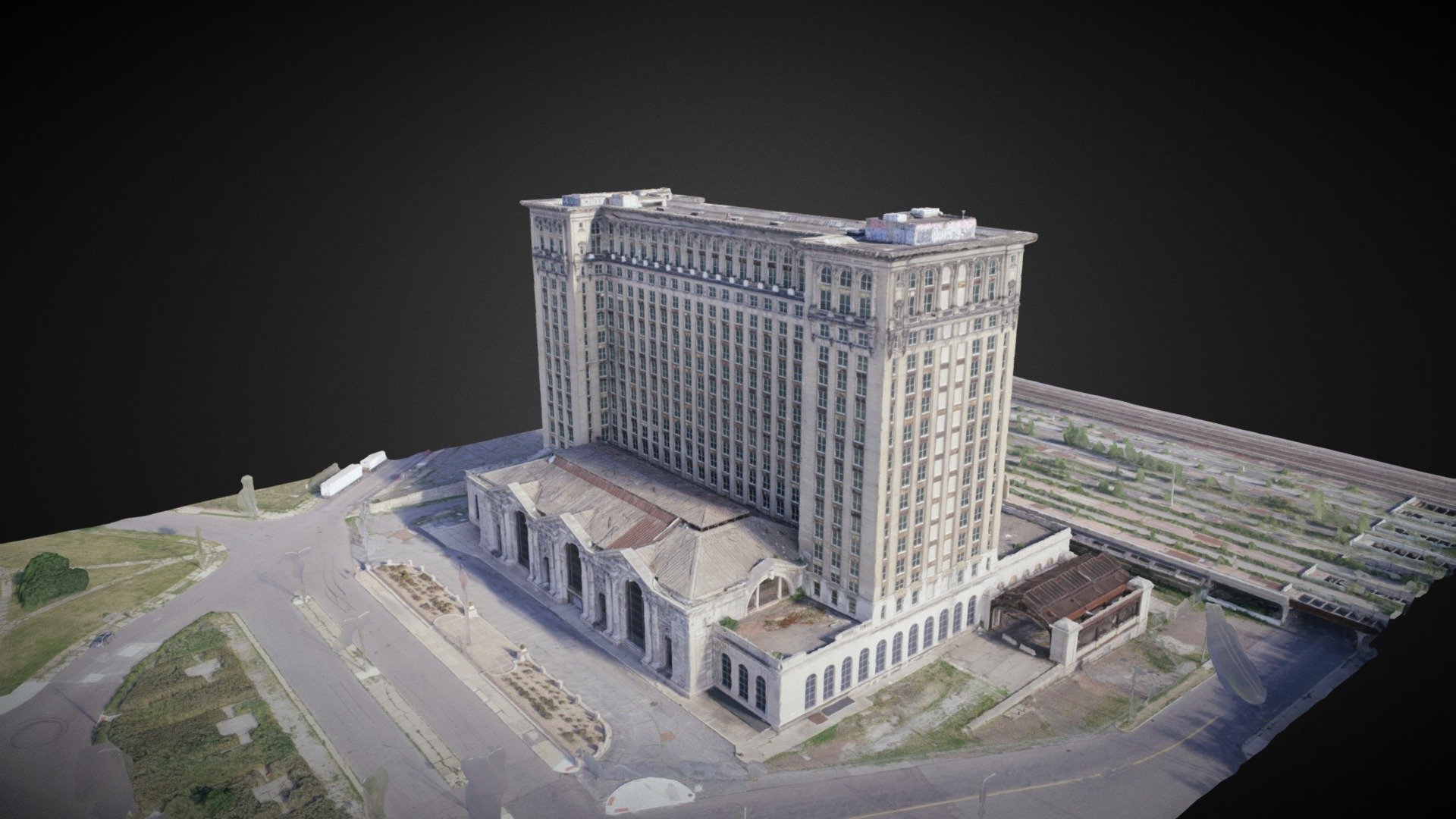
Transform aerial imagery into detailed 3D models that provide a realistic view of buildings, structures, and terrain. These models help clients visualize projects, improve planning, document existing conditions, and communicate information more effectively with stakeholders.
Transform aerial imagery into detailed 3D models that provide a realistic view of buildings, structures, and terrain. These models help clients visualize projects, improve planning, document existing conditions, and communicate information more effectively with stakeholders.