
Industrial Drone Services You Can Trust
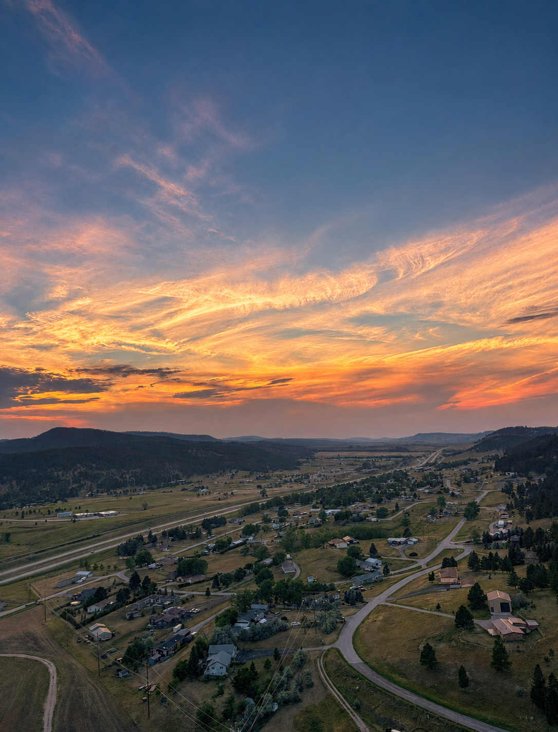
From detailed aerial maps to realistic 3D models, Rapid Aerial Services gives clients a clear view of their sites from above. Our work is designed to support planning, documentation, progress tracking, and better project communication.
What we do
collect
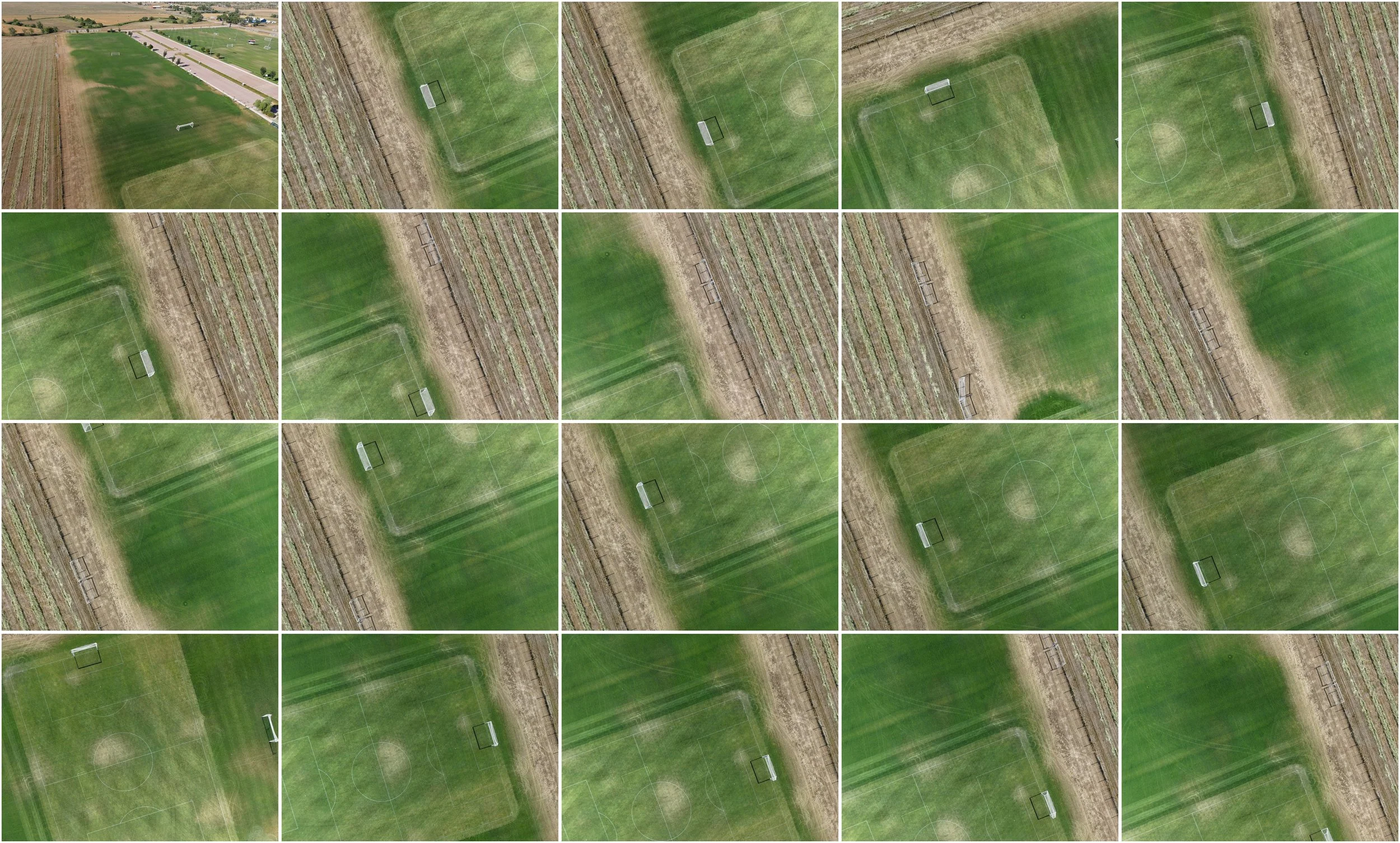
We utilize advanced drone platforms to capture high-quality aerial imagery and geospatial data with precision and repeatability. Every flight is planned to maximize coverage, accuracy, and efficiency while minimizing disruption on site.
Deliver
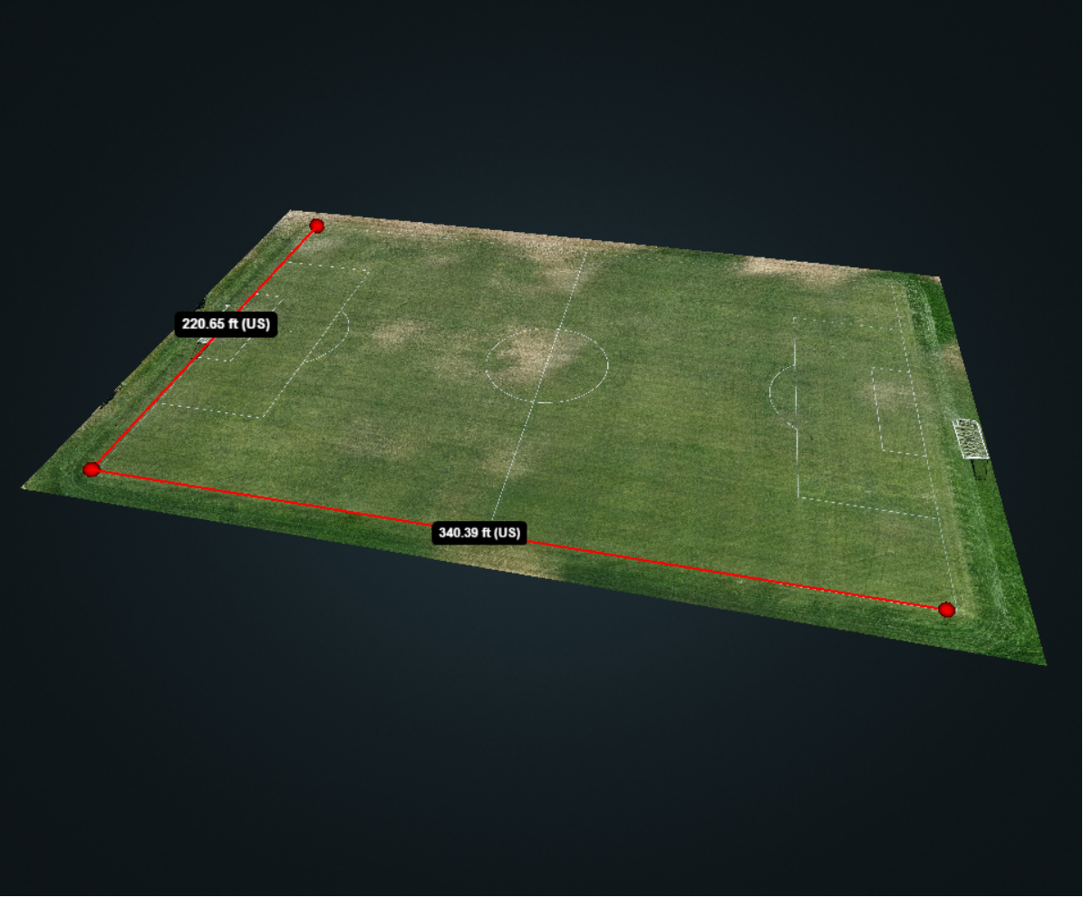
Raw aerial data is transformed through specialized processing software into detailed digital products that provide meaningful insights. The result is clear, reliable information that can be used for planning, documentation, and analysis.
Our Services
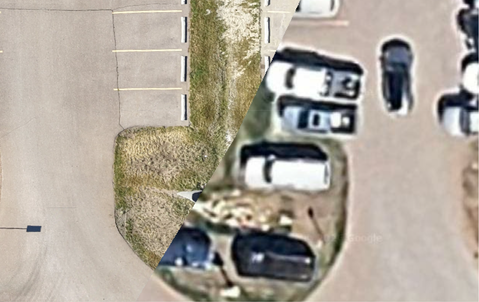
Orthomosaic maps combine hundreds of overlapping aerial images into a single, highly detailed, georeferenced image. These maps provide an accurate overhead view of a property or project, making them ideal for construction documentation, land development, site planning, progress tracking, and property management.
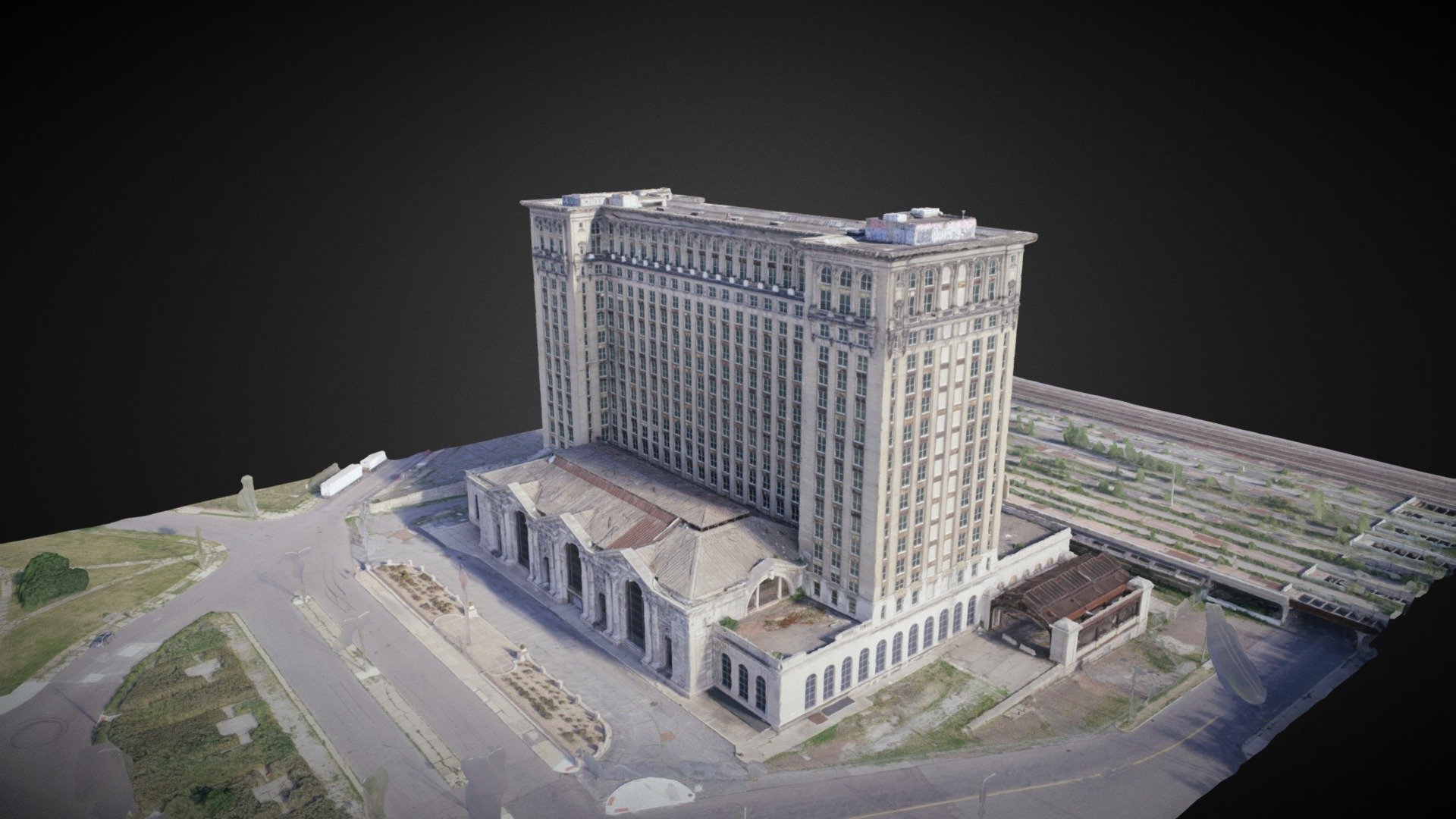
Transform aerial imagery into detailed 3D models that provide a realistic view of buildings, structures, and terrain. These models help clients visualize projects, improve planning, document existing conditions, and communicate information more effectively with stakeholders.
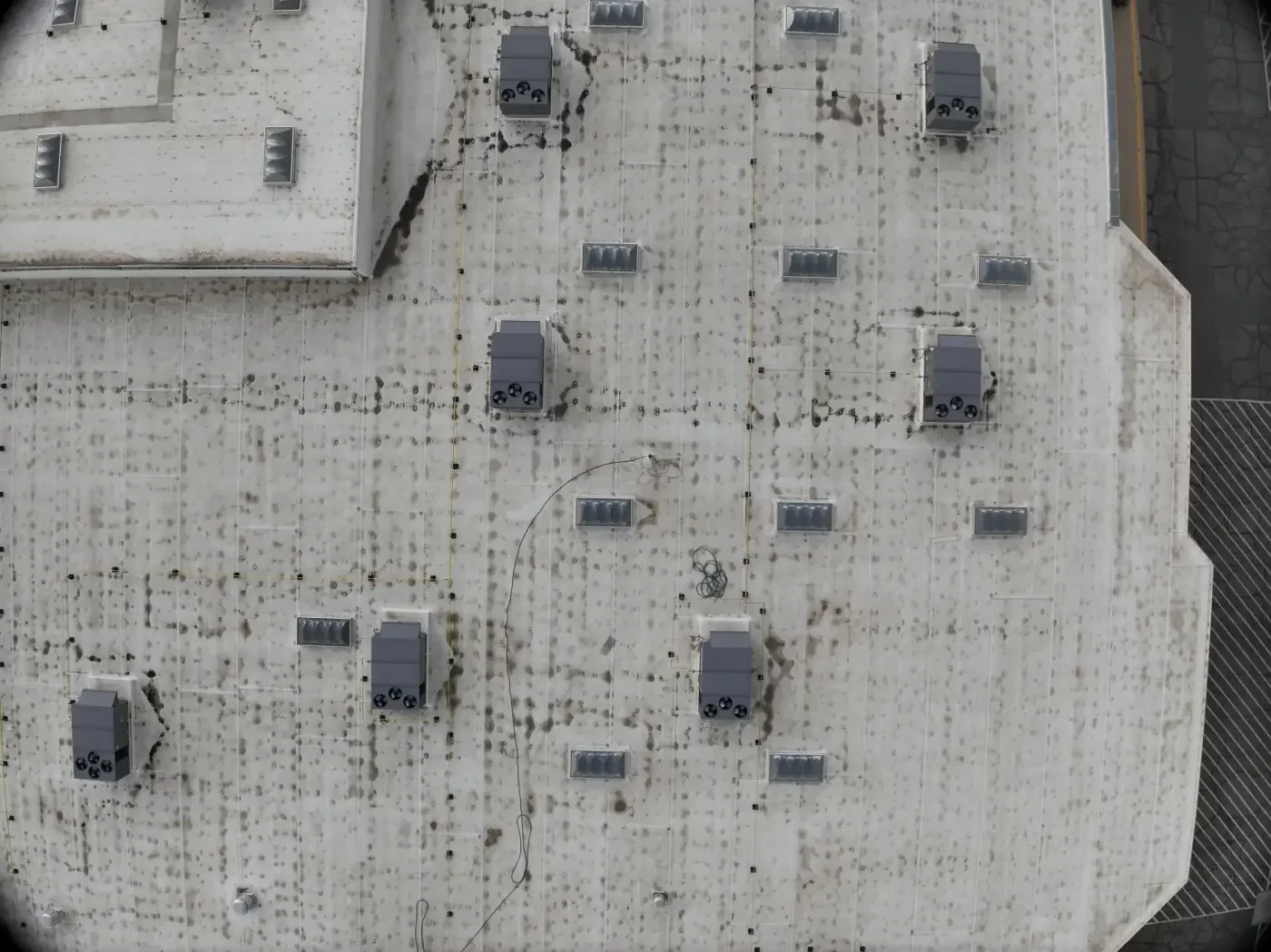
Capture high-resolution aerial imagery of residential and commercial roofs safely and efficiently without the need for ladders or direct roof access. Our aerial documentation provides a detailed visual record that can support maintenance planning, insurance claims, contractor evaluations, and property records.
*Rapid Aerial Services LLC provides visual roof documentation and imagery only. We do not perform licensed home or building inspections or diagnose roofing or structural conditions.
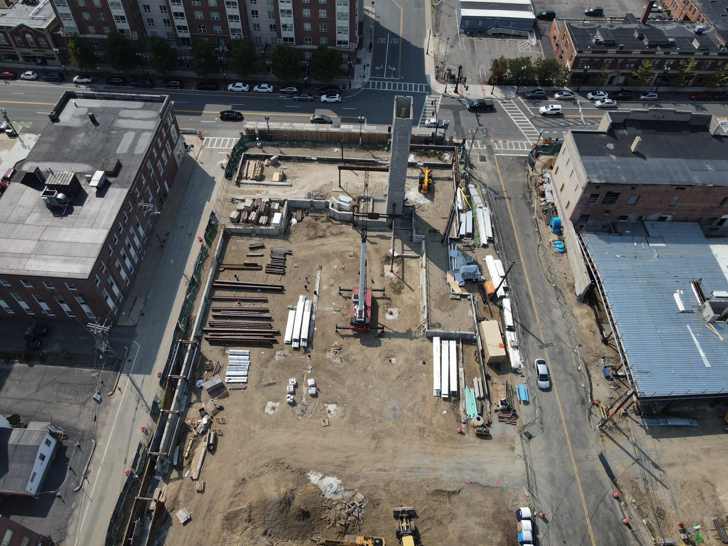
Keep a clear, consistent record of your project from start to finish with scheduled aerial site documentation. Rapid Aerial Services captures high-resolution imagery, maps, and visual updates that help contractors, project managers, and property owners track progress, compare site conditions, communicate with stakeholders, and maintain organized project records.
Monitoring can be scheduled weekly, biweekly, monthly, or around major project milestones. Each visit can be tailored to capture consistent angles and coverage, making it easier to identify changes, document completed work, and review the project over time.
Want to see for yourself?
Rapid Aerial Services is as committed and dedicated as you are. If you’re a contractor who’s looking for consistent site monitoring, you’ve come to the right place. Book a free demo today and see the value for yourself.
Live Demos
See firsthand how aerial data can support your project. Rapid Aerial Services will visit an active job site and complete a condensed version of our standard data-collection and processing workflow.
20-30 minutes at site
1 × Orthomosaic map preview
1 × 3D model preview (building or land)
1 × 4K video orbiting your site
The cost of a live demonstration is $200. When you choose Rapid Aerial Services for a future project, the full demonstration fee will be credited toward your next booked job.
Demonstrations are subject to site conditions, airspace restrictions, weather, and property authorization. Preview images are provided as samples and do not include the complete project files or datasets.
Consultations
Start with a conversation about your site, project goals, and the information you need. Rapid Aerial Services will help determine whether aerial mapping or 3D modeling is a good fit and recommend a practical approach based on your objectives.
During the consultation, we can review:
Your project location, size, and timeline
Relevant examples of maps, models, and other deliverables
The data collection and processing workflow
Recommended deliverables for your project
Estimated pricing and scheduling considerations
Site access, airspace, and safety requirements
After the consultation, Rapid Aerial Services can provide a clear project scope and customized quote outlining the recommended services, deliverables, and next steps.