
 Image 1 of 1
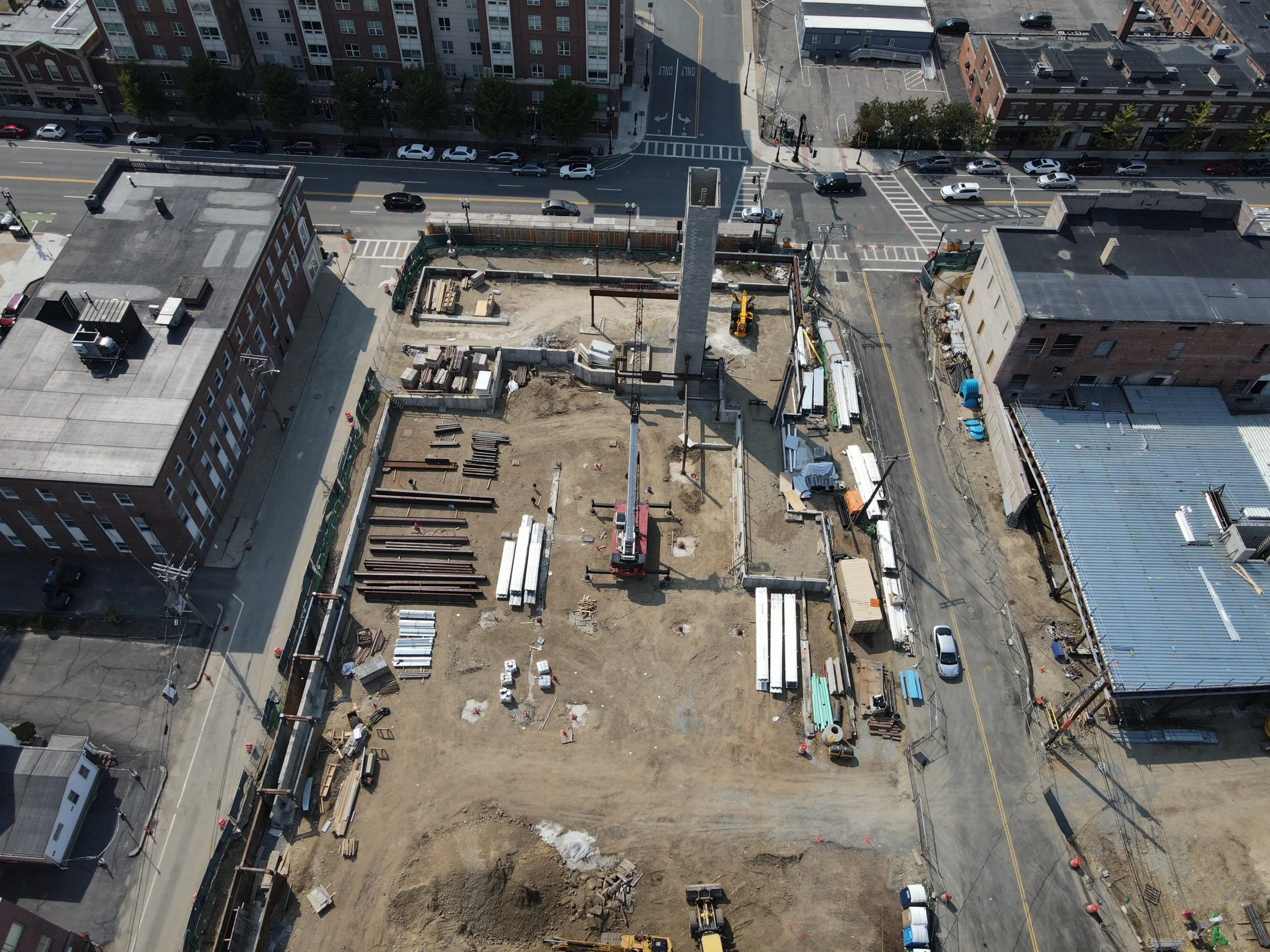
Keep a clear, consistent record of your project from start to finish with scheduled aerial site documentation. Rapid Aerial Services captures high-resolution imagery, maps, and visual updates that help contractors, project managers, and property owners track progress, compare site conditions, communicate with stakeholders, and maintain organized project records.
Keep a clear, consistent record of your project from start to finish with scheduled aerial site documentation. Rapid Aerial Services captures high-resolution imagery, maps, and visual updates that help contractors, project managers, and property owners track progress, compare site conditions, communicate with stakeholders, and maintain organized project records.