
 Image 1 of 1
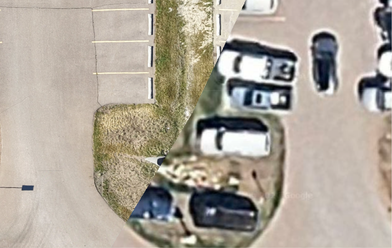
Orthomosaic maps combine hundreds of overlapping aerial images into a single, highly detailed, georeferenced image. These maps provide an accurate overhead view of a property or project, making them ideal for construction documentation, land development, site planning, progress tracking, and property management.
Orthomosaic maps combine hundreds of overlapping aerial images into a single, highly detailed, georeferenced image. These maps provide an accurate overhead view of a property or project, making them ideal for construction documentation, land development, site planning, progress tracking, and property management.